
Protecting a river also means protecting its ability to keep flowing.
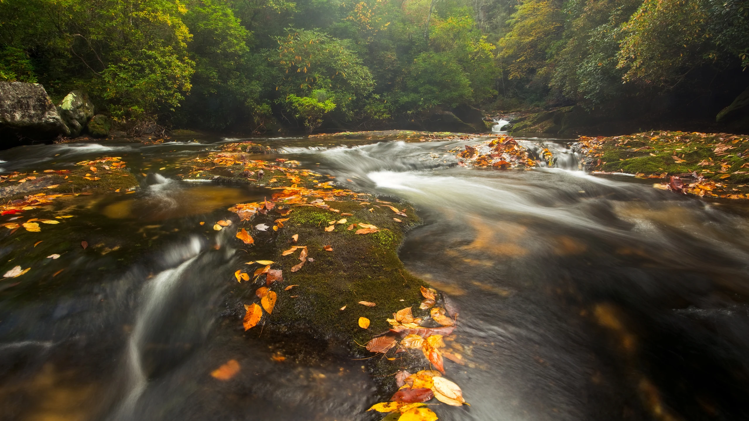
Image: Bing Wallpaper | Chattooga River, Appalachian Mountains, North Carolina | Copyright: mtilghma/Getty Images | Original page

The United States signed the Wild and Scenic Rivers Act on October 2, 1968. It sought to preserve selected river reaches with outstanding natural, cultural or recreational values, including their free-flowing condition.
The Chattooga was not among the original rivers. It received designation on May 10, 1974: 58.7 protected miles, comprising 41.6 miles classified as wild, 2.5 as scenic and 14.6 as recreational. Those labels distinguish access and surrounding development, not a ranking in which only the wild reaches matter.
A River Can Change Its Destination
The Chattooga now drains through the Savannah system into the Atlantic. The National Wild and Scenic Rivers System describes a likely earlier rearrangement: the Tugaloo, formed where the Chattooga and Tallulah meet, captured rivers that had drained toward the Chattahoochee. Their route to the Gulf of Mexico became a route to the Atlantic.
As streams erode toward their headwaters, a drainage divide can shift. If erosion crosses it, part of a neighboring river's upper course may be diverted. A broad abandoned valley may no longer carry the flow that carved it. A drainage map is a snapshot of geological processes, not a permanent set of directions.
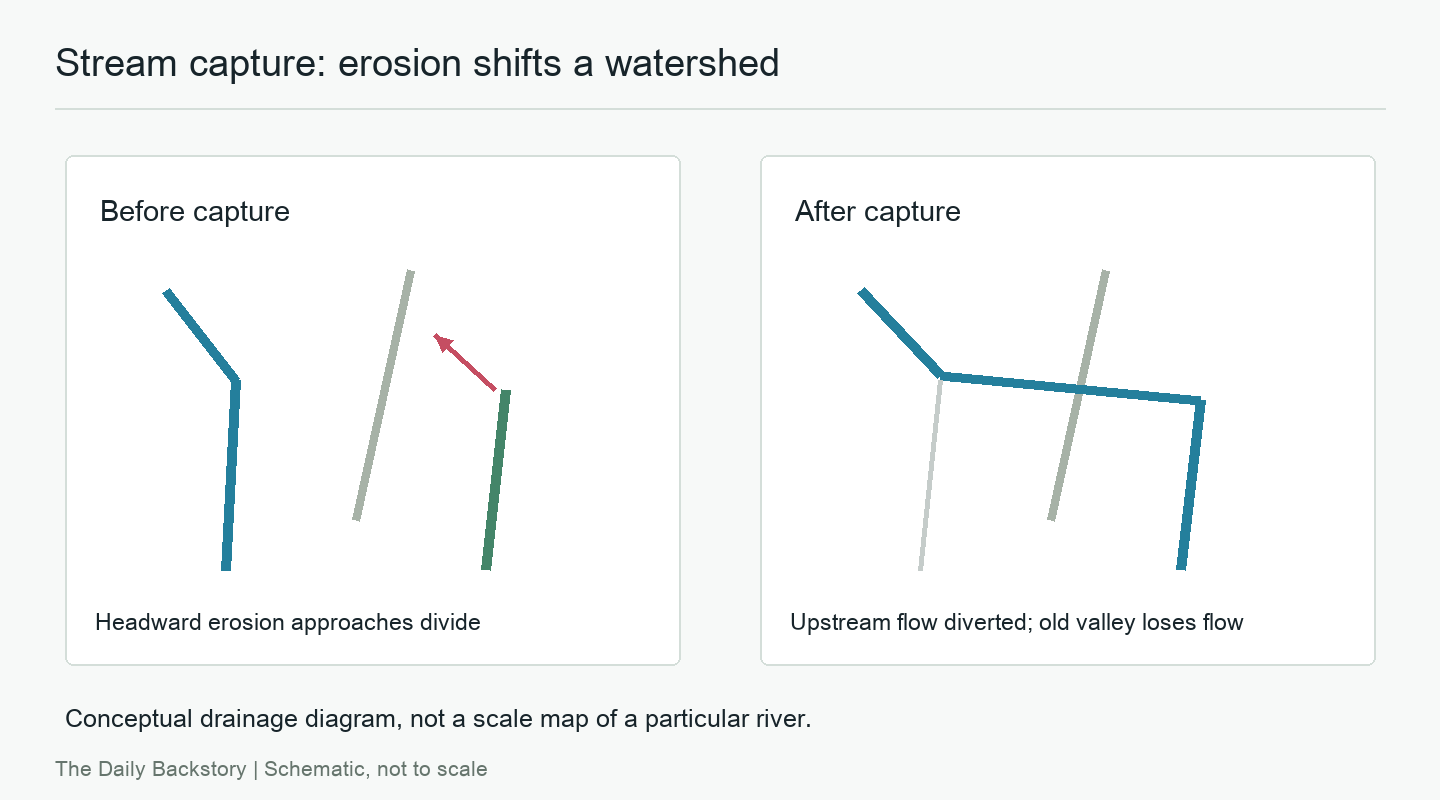
Diagram: The Daily Backstory; a conceptual drainage diagram, not a map of the Chattooga's history.
A Boundary Is Not Enough
A designated reach has endpoints. Water carries sediment from upstream, receives tributaries and keeps moving downstream. Protecting it depends on projects that affect the reach, not only on drawing a corridor along its banks.
The act restricts federally supported water-resource projects under specified conditions. That is not the same as banning every project everywhere. The scope depends on the law and the management provisions for the particular river.
Another Approach at Dujiangyan
China's Dujiangyan irrigation system began taking shape in the third century BCE. It uses a dividing levee, flood and sediment outlets, and the Baopingkou diversion passage rather than a high storage dam across the Min River. UNESCO includes its continued operation among the site's important qualities.
This is an engineered system maintained and altered over centuries, not an untouched river. The useful comparison is narrower: using flowing water does not always require stopping the entire river. Different engineering choices and legal systems must still decide how to obtain what people need while retaining important river functions.
Sources
National Wild and Scenic Rivers System: Chattooga River and system and legal overview; New Georgia Encyclopedia: Chattooga River; UNESCO: Mount Qingcheng and Dujiangyan.