
Mountains surround a deep-blue lake. Forest and snowy peaks have a second, wavering life in the water, while stars scatter overhead. Bing's October 25 wallpaper takes us to Maligne Lake in Jasper National Park, Alberta, Canada.
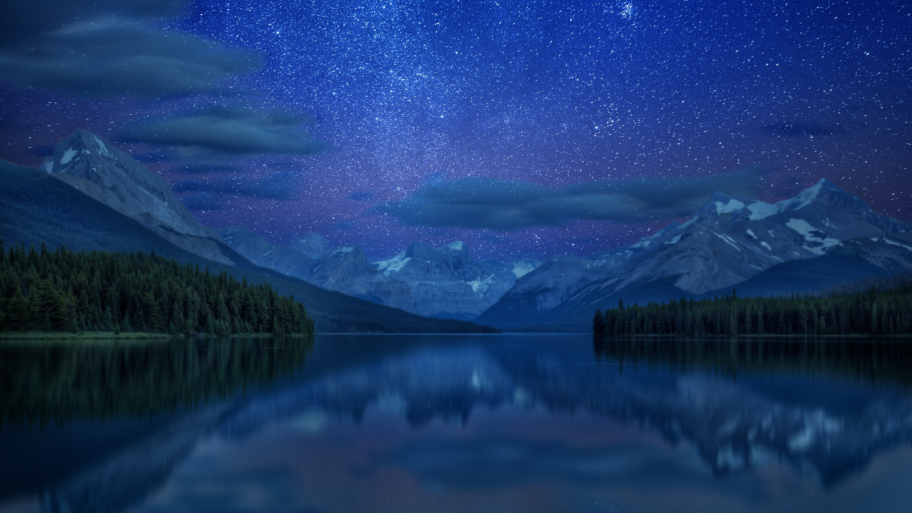
Image: Bing Wallpaper | Maligne Lake, Jasper National Park, Alberta, Canada (© Andrey Popov/Getty Images). Original page.
The sky invites us to look up. But a walk into the woods beside the lake offers a reason to look down: the mossy boulders under the trees belong to a story that changed the water itself.
When the Mountain Fell
According to Parks Canada's trail guide, about half a billion cubic meters of rock fell from the ridge across the lake thousands of years ago. The slide blocked the valley and considerably enlarged Maligne Lake to its present size.
A rockslide can change a lake by raising its threshold. Debris obstructs the valley, allowing more water to collect upstream. The little hills, hollows, and lichen-covered boulders along the forest trail are remnants of that fallen mass. Nearby Moose Lake occupies a depression in the slide debris.
The slide did not create every part of Maligne Lake from scratch. Glaciers shaped the surrounding landscape and continue to supply meltwater; the rockslide changed how an existing valley held water. One quiet view preserves two very different rhythms: slow glacial erosion and sudden collapse.
A Map Worth Remembering
Parks Canada's lake description gives its length as about 22 kilometers, extending toward the meltwater channels of Coronet Glacier. Famous Spirit Island lies some 14 kilometers up the lake from its northern end, with no road or trail reaching it. It is one stop in a much longer landscape, rather than the whole lake compressed into a familiar postcard.
The lake was already known to Indigenous people long before visiting explorers made it famous elsewhere. The park's historical trail account describes how, in 1908, Mary Schäffer and her guides reached it by following a map drawn for her by Samson Beaver, an Indigenous man. Remembering the mapmaker gives us a fuller account of the journey.
Where the Water Goes Underground
Water leaving Maligne Lake has another journey ahead. The Maligne River enters Medicine Lake downstream, but no obvious surface channel drains that lake. Parks Canada explains that water enters sinkholes in the lake bed, travels through caves in limestone, and resurfaces around Maligne Canyon some 16 kilometers downstream.
In summer, meltwater arrives faster than the sinkholes can drain it, so the lake fills. As meltwater diminishes in late summer and fall, drainage overtakes inflow. The lake can shrink to mudflats and pools linked by a stream. This is a seasonal pattern, rather than evidence of Medicine Lake's condition when the wallpaper was photographed. A rockslide can raise a threshold and hold water back; underground passages can give it another way out. Reading a lake sometimes means looking for an outlet you cannot see.
Look for an Old Event
If you visit, the park's route descriptions offer two ways to read the landscape. The Moose Lake Loop is listed as a 2.7-kilometer circuit through slide debris; the 3.2-kilometer Mary Schäffer Loop includes lakeside historical interpretation. The park's October 22 condition reports, available when checked on October 25, noted wet, muddy sections and patches of snow on both routes. Check the current trail conditions before setting out.
You can try the same kind of looking closer to home. On a familiar riverbank or hillside, notice mixed piles of stones, old water-level marks, or curved hollows left by a former channel. Record the shapes, then look for local geological explanations. Where a stone ended up can be as interesting as what it is made of.